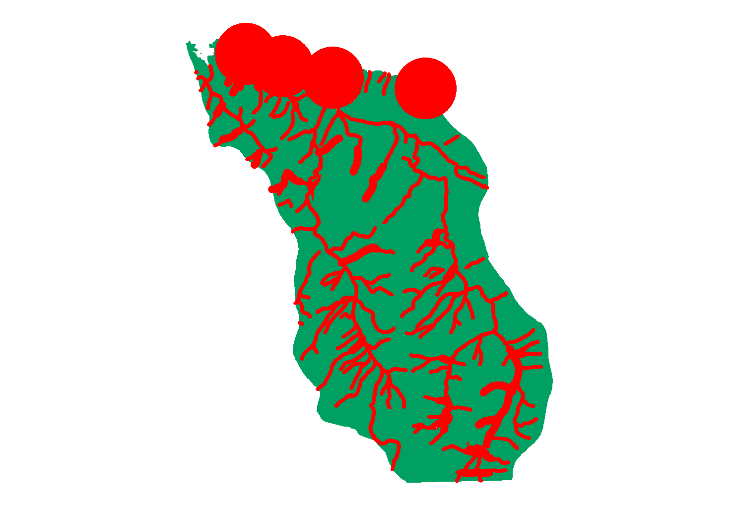
Background: Ruffed grouse is a northern game bird species that thrives in disturbed forest ecosystems. The best grouse habitat is found in a mosaic of aspen patches burned or clear-cut every 40 to 50 years. The mosaic provides food and cover in close proximity and refuges from predators, see: http://www.dnr.state.mn.us/volunteer/novdec06/grouse.html
Buffering features
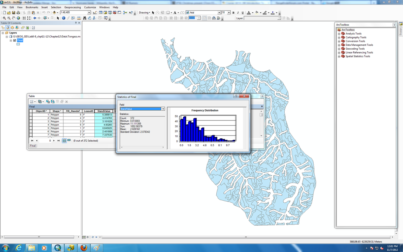
Overlaying data
Calculating attribute values
Note:
Harvesting natural resources in natural park or ecological sensitive area probably are politically incorrect, in fact, if we know where is limit for gaining natural resources without interference environment it would be a win-win solution. That's a part of what GIS science can do for this job.