Projections
This blog "was" for my geography class assignments. Now I am introducing geography of the United States.
Thursday, February 14, 2013
Tuesday, November 27, 2012
Vector Analysis Exercise: Ruffed Grouse
http://www.dnr.state.mn.us/volunteer/novdec06/grouse.html
http://en.wikipedia.org/wiki/Ruffed_Grouse
http://ja.wikipedia.org/wiki/エリマキライチョウ
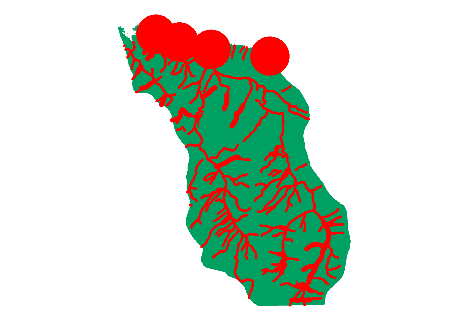
Final Output:
It was not a easy job.
Monday, November 19, 2012
Lab 9 - Digitizing
Displaying XY Data
Datum: GCS, WGS 1984/NAD 1983
X Field = Easting
Y Field = Northing
Z Field = Elevation (for 3D map creating)
Datum: GCS, WGS 1984/NAD 1983
X Field = Easting
Y Field = Northing
Z Field = Elevation (for 3D map creating)
Export feature into my database.
Lab 9 - Creating and Editing Data
Digitizing
Chapter 15: Creating features
Drawing features
Using features construction tools
Chapter 16: Editing features and attributes
Deleting and modifying features
Splitting and merging features
Editing feature attribute values
Chapter 15: Creating features
Drawing features
Using features construction tools
Chapter 16: Editing features and attributes
Deleting and modifying features
Splitting and merging features
Editing feature attribute values
There has trouble about to drugging line into road, I unable to do as textbook did...
Monday, November 12, 2012
Lab 8 - Exercise
Vector Analysis Exercise
A.Data Preparation: Extraction Techniques
B. Proximity Analysis
2. Near
How far from an urban area was the 1872 quake, which measured 7.76 in magnitude?
3. Thiessen Polygons
C. Overlays
1. Union
- the relationship between urban area vs. county size
2. Identity
What percentage of each county is federally operated?
Which federal land types are located in each county?
B. Proximity Analysis
1. Multiple Ring Buffer
How far from an urban area was the 1872 quake, which measured 7.76 in magnitude?
FID 62: 0.7145 (km?)
3. Thiessen Polygons
C. Overlays
1. Union
- the relationship between urban area vs. county size
2. Identity
What percentage of each county is federally operated?
Which federal land types are located in each county?
Wednesday, November 7, 2012
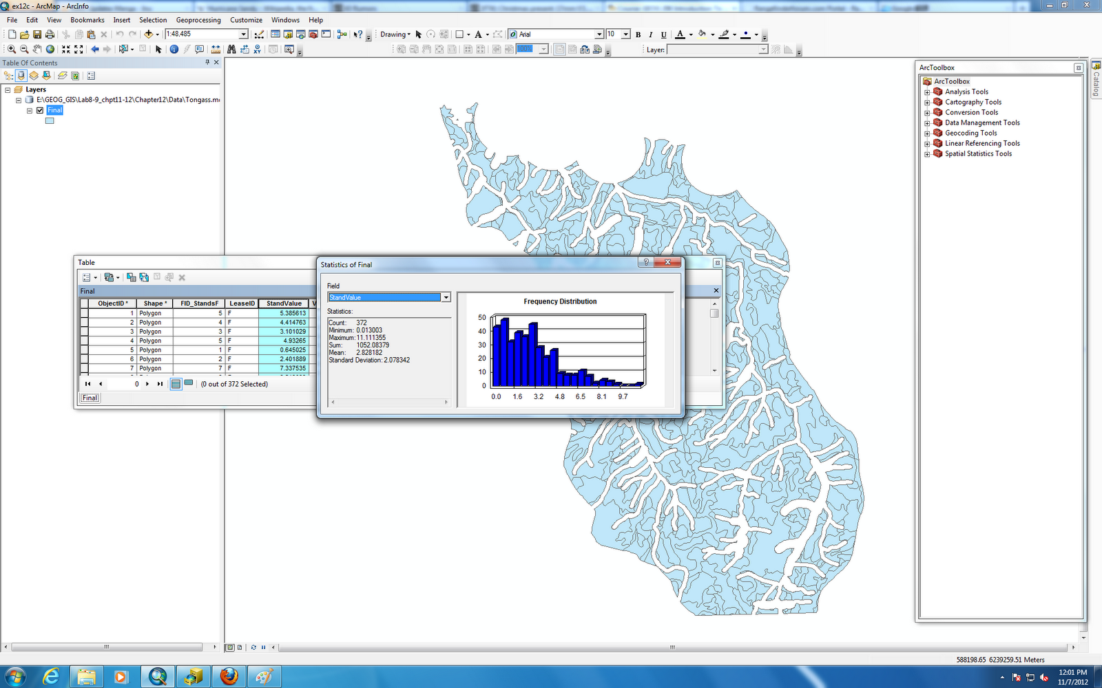
Lab 8 - Chapter 12
Chapter 12: Analyzing spatial data
Buffering features
Overlaying data
Calculating attribute values
Note:
Harvesting natural resources in natural park or ecological sensitive area probably are politically incorrect, in fact, if we know where is limit for gaining natural resources without interference environment it would be a win-win solution. That's a part of what GIS science can do for this job.
Buffering features
Overlaying data
Calculating attribute values
Note:
Harvesting natural resources in natural park or ecological sensitive area probably are politically incorrect, in fact, if we know where is limit for gaining natural resources without interference environment it would be a win-win solution. That's a part of what GIS science can do for this job.
Subscribe to:
Posts (Atom)