Wednesday, October 31, 2012

Lab 7 - Part II

Lab 7 - Part II: Apply and Pratice

California is earthquake state. A lot of earthquakes happened every year but only few part of earthquakes occurred in urban area that can cause property damage and loss of life. Let's find which historical earthquakes that fits the questions.


Q1) Symbolize the new dataset using the ‘Count’ field and generate a map layout
with a legend and title ONLY and export to your blog.


Q2) What is the primary key relationship (ex. one-many) between the two tables
just joined?

Primary key: GEOid
One-to-one relationship

Q3) Which County had a maximum earthquake magnitude less than 4.5 and at least one earthquake

Mariposa County


Q4) How many earthquakes above magnitude 5.0 have been located in urban areas?

45 earthquakes


Q5) What is the total number of earthquakes (Count) in the county with a population over 1,000,000 and maximum earthquake depth greater than 17 km?

264 earthquakes


Monday, October 29, 2012

Lab 7 - Part I: Chapter 10

Chapter 10: Selecting features by location.

In this chapter, textbook chooses real life place: Riverside, California. March Field Air Museum locates there and I visited many years ago. Boarded B-17 and B-29 bomber and I surprised they have gaps on generation of aviation technologies.

This exercise shows how to find a location for open a new food store.


Ex 10a - Using location queries


Note: Spatial selection method on "Select By Location" was simplified on ArcGIS v10.1. "Target layer(s) features are..."  words omitted but function names still same.


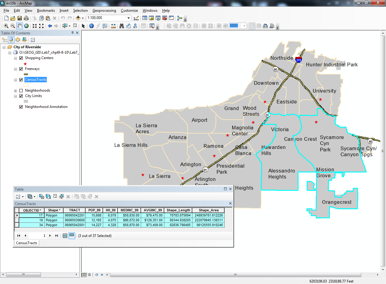
Ex 10b - Combining attribute and location queries


Lab 7 - Part I: Chapter 8

Chapter 8: Querying data


Ex 8a - Identifying, selecting, finding, and hyperlinking features


"Hyperlinks"actually a links contains house photo. More likes real estate's photos of house for sale.


 Ex 8b - Selecting features by attribute


Anyone who uses Google advance search know search operations, so as searching data in database from ArcGIS software's map.


Ex 8c - Creating reports

Yes, it likes M$ Access, can create report from database (selected data)

Report file. No need to download if you are not familiar .rlf file format.

Lab 7 - Part I: Chapter 9

Although Professor states it just needs a screenshot from each exercises, I want to make my post more details from what I worked on each exercises.


Chapter 9 - joining and relating tables

Ex 9a: Joining tables


Ex 9b: Relating tables


Wednesday, October 24, 2012

Lab 6 - Downloading & Displaying Spatial Data


Data Mining

Download Digital Elevation Model (DEM) Raster - USGS National Map
TIGER files and Demographic Data, US Census Bureau - Shapefiles with Demographic Data

San Fernando Valley, east side of valley can connect LA Basin.


High density of retired baby bloomer locations.

 South coast of southern California, to San Diego.

Mined data for all of three maps.

Monday, October 8, 2012

Lab 5 - chapt 19

This chapter is a bit complex so I did not change whole feature in different layers. However, I will try to use different cartographic styles in future assignments.


Save the Tiger!

Lab 5 - chapt18

Assignment:
This assignment is similar in structure to lab 4. Please complete Chapters 18 and 19 in
your Getting to Know ArcGIS 10 books. There aren't any questions for this week’s
assignment, but I would like you to experiment with different cartographic styles.
Change the final map product for each exercise in both chapters, giving you a total of
eight customized maps. By customize, I mean I’d like you to apply the basic
cartographic principles learned in class to change the final product from each exercise
into a map personally designed by you. I want you to start getting comfortable with
creating maps and using different cartographic styles. The more practice you get, the
better your map layouts will become.
Note: Starting with this lab, all maps you export to your blog must include the four fundamental
map elements - title, legend, scale, north arrow. Experiment with creating layouts which include
photos, text, and locator or inset maps to enhance your design skills.

--------------------------------------------------------------------------